

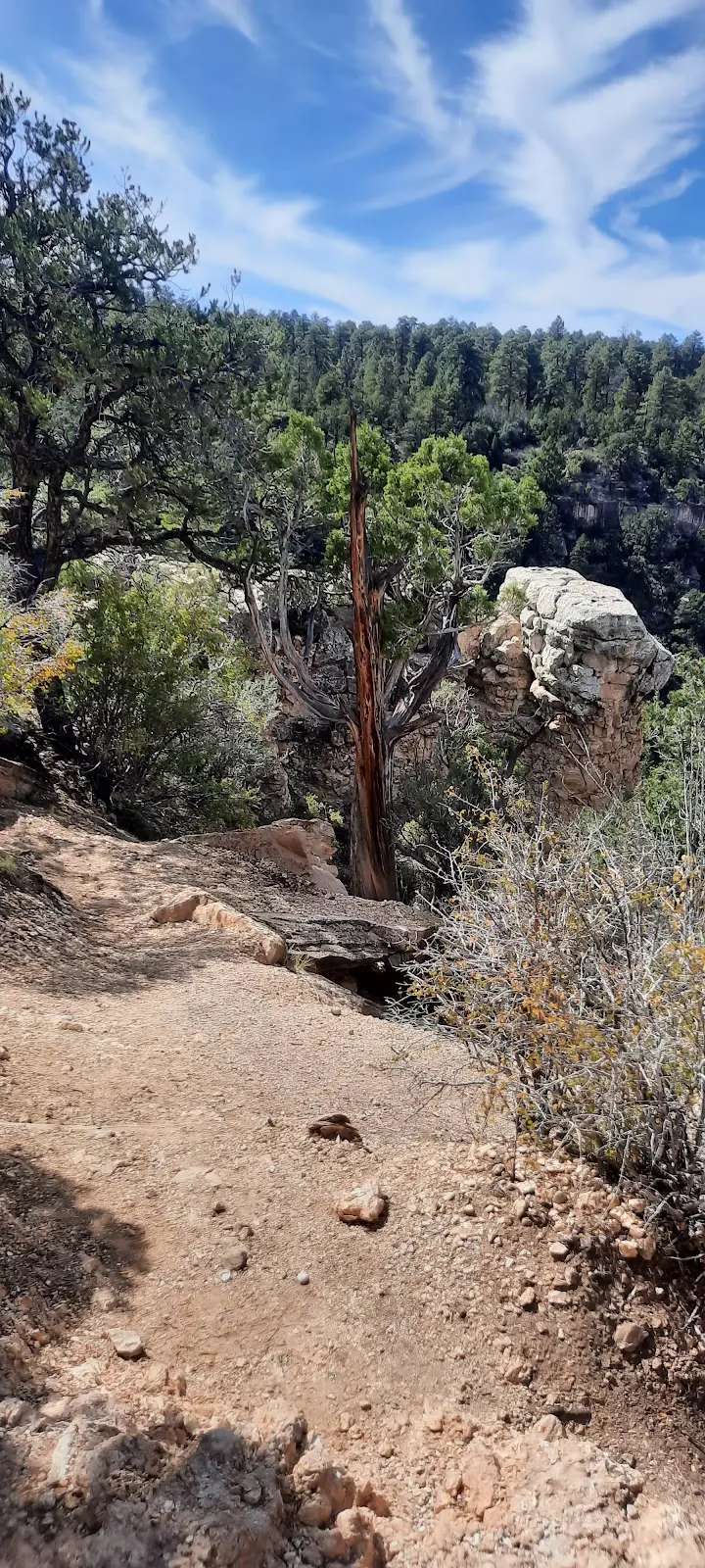
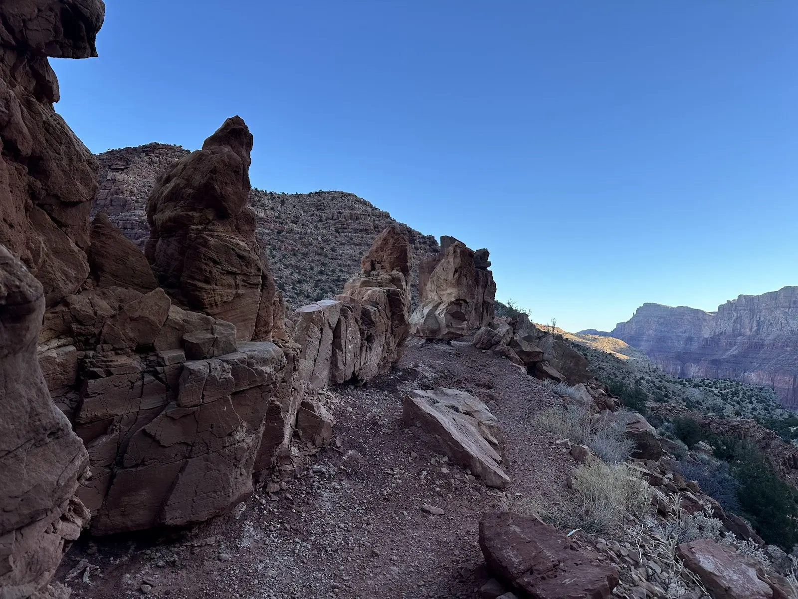
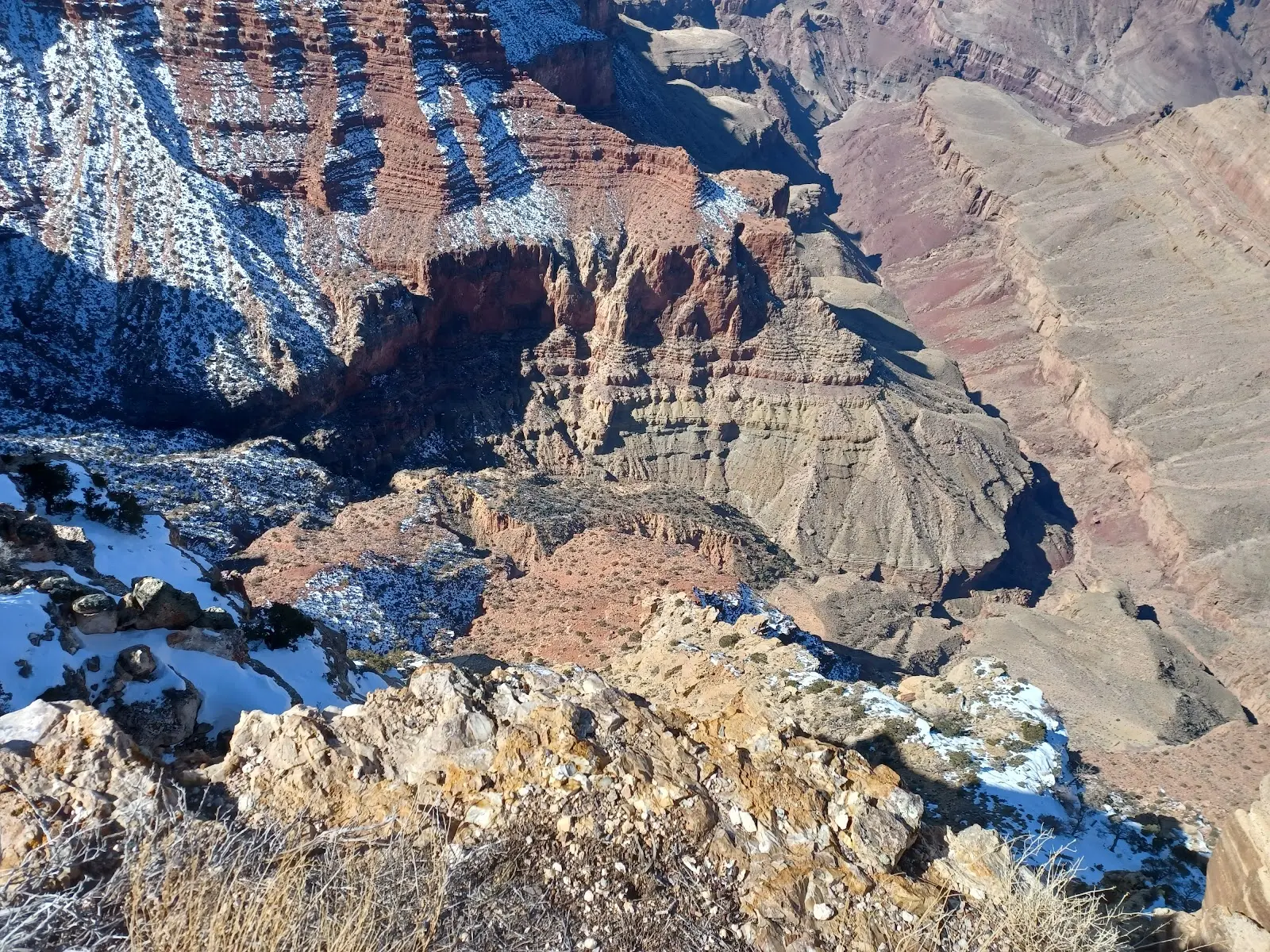
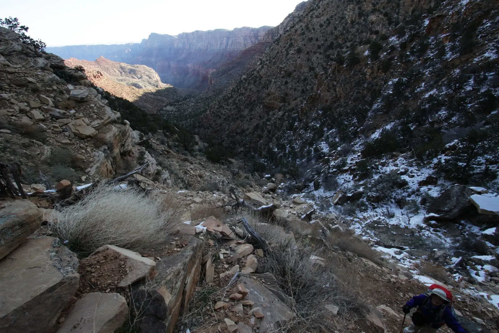
No restrooms at Lipan Point. Snow patches around the first half mile. Pretty well maintained. 7.5 miles to the river. Cool tiny coves to relax and refuel. Not much shade. Lots of tiny bugs
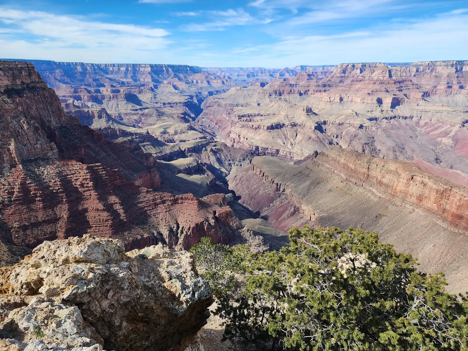
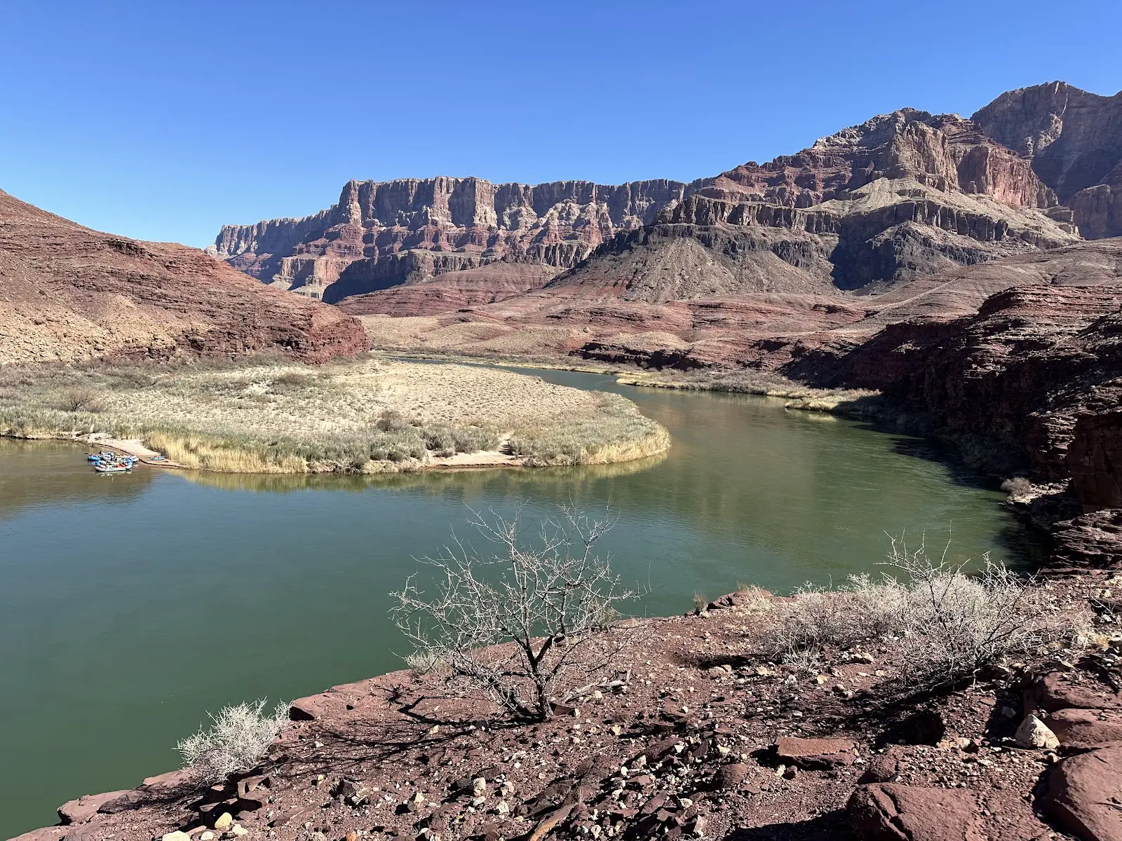
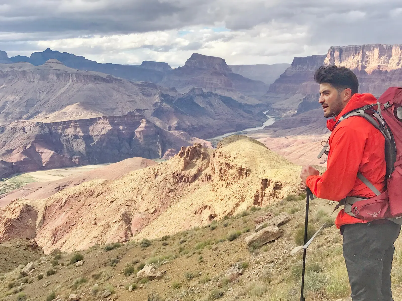
Tanner Trailhead launches one of the South Rim’s most challenging backcountry routes. From Lipan Point you drop 4,750 ft over 9 rugged miles to the Colorado River at Tanner Rapids, passing ancient Puebloan sites and panoramic eastern‑canyon vistas. The trail is unmaintained, waterless, and recommended only for experienced hikers.
No restrooms at Lipan Point. Snow patches around the first half mile. Pretty well maintained. 7.5 miles to the river. Cool tiny coves to relax and refuel. Not much shade. Lots of tiny bugs

It’s tough!Not for novicesPack lightBring tons of waterNo type of phone services for emergenciesA more desolate trailRiver campsite at the bottomFirst few miles down are a switchbacks, so the trail will be hard coming back. Definitely a beautiful trail but there are more scenic routes. If you want a tougher route, that’s about 12 hours long inward then this is your climb.

Great hike. But bring water. However mucu you are thinking of bringing-bring more. Ran out of water twice here. And I'm a planner and good at hiking. Beware of this hike. Plan for more water.

Nice trail, it's not for everyone, very hard at times but beautiful landscape everywhere. Bring a lot of water. There is no water point until the river if you have a filter bottle 😊

Bring water. If you're planning to hike the Tanner Trail, it's a long way down to the river with no water. I stash some water on the way down, filter some down at the river, and still about run dry when hiking in summer. Plan to use about 50% more water than you would hiking out the South Kaibab Trail. If you haven't done the South Kaibab, I wouldn't recommend the Tanner.The Tanner Trail is beautiful, and gives you access to some rock layers you won't see closer to Grand Canyon Village. The bottom part of the trail goes through the Dox Sandstone, a very crumbly rock with poor footing. Other sandstones used their hundreds of millions of years underground more productively, and offer better footing.Speaking of which, the Beamer Trail is awful. It's difficult to follow and always at the edge of the Bright Angel Shale/Tapeats Sandstone interface (except some stretches down along the river). This is the closest I've ever come to death on a hike.
Tanner Trailhead launches one of the South Rim’s most challenging backcountry routes. From Lipan Point you drop 4,750 ft over 9 rugged miles to the Colorado River at Tanner Rapids, passing ancient Puebloan sites and panoramic eastern‑canyon vistas. The trail is unmaintained, waterless, and recommended only for experienced hikers.
Starting beside Lipan Point overlook on Desert View Drive, Tanner Trailhead offers a gateway to the wild eastern Grand Canyon. The primitive path follows an ancestral foot route later widened by miner Seth Tanner in the 1880s. Today it remains a backcountry challenge: no water, no shade, and loose scree that demands sure footing. Hikers descend the Coconino and Redwall cliffs, traverse the Supai benches, and reach Tanner Canyon and its sandy beach on the Colorado River. Because the trail receives minimal maintenance, expect route‑finding, exposure, and extreme temperature swings. A backcountry permit is mandatory for overnight trips; day hikers should turn around well before the river.
Car: From Grand Canyon Village, drive 22 mi/35 km east on Desert View Drive to Lipan Point. Park, then walk 200 yd/180 m east along the road to the signed trailhead. Shuttle: No park shuttle service to Lipan Point. Taxi/Ride‑share: Limited; arrange pick‑up in advance with companies based in Tusayan.
Local advice to help you make the most of your visit.
No permit is required for day use, but overnight camping anywhere below the rim does require a backcountry permit.
The only reliable source is the Colorado River at Tanner Rapids. Treat all water and carry plenty for the climb out.
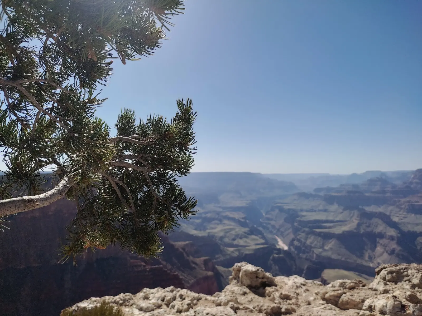
The upper mile offers great views, but even short outings involve steep, loose terrain. Novices should consider easier rim trails instead.
Hours may change. Please call ahead to confirm before you visit.


Discover attractions, viewpoints, restaurants and experiences within a short distance.
Centered on Tanner Trailhead · showing places within 1.9 mi
 Viewpoint0.1 mi
Lipan Point sits along Desert View Drive, 6 mi (9.7 km) west of Desert View Watchtower. The overlook reveals the Unkar Delta, a broad…
 Parking0.6 mi
No Name Parking Lot sits at mile 11.3 of Desert View Drive, roughly halfway between Grand Canyon Village and Desert View Watchtower.…
 Viewpoint0.9 mi
Perched 25 mi / 40 km east of Grand Canyon Village, Navajo Point takes its name from the neighboring Navajo Nation. A short, paved spur off…
 Parking0.9 mi
Navajo Point Parking Lot sits 0.6 mi / 1 km west of Desert View Watchtower along Desert View Drive. Roughly 25 vehicles…
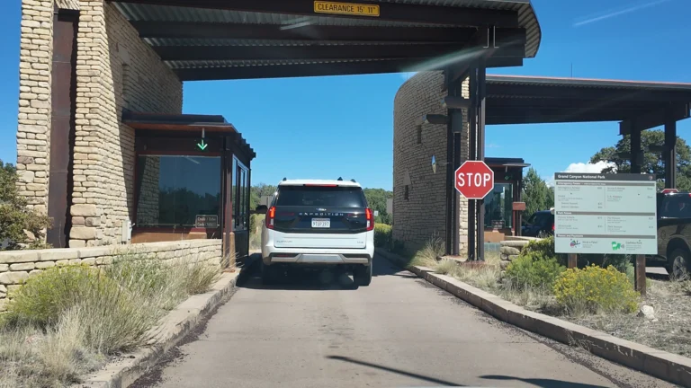 Local_government_office1.3 mi
The East Entrance Station, often called the Desert View Entrance, sits 25 mi/40 km east of Grand Canyon Village on Arizona State Route 64. It serves…
 Tourist_attraction1.5 mi
Tusayan Ruin Historical Place – South Rim (Desert View), Grand Canyon National Park Quick Facts GPS 36.0467° N, 111.8272° W Elevation 7,400 ft / 2,256 m…
 Visitor Help1.5 mi
Opened with the completion of Desert View Drive in the 1930s, the parking lot anchors the only developed area on the South…
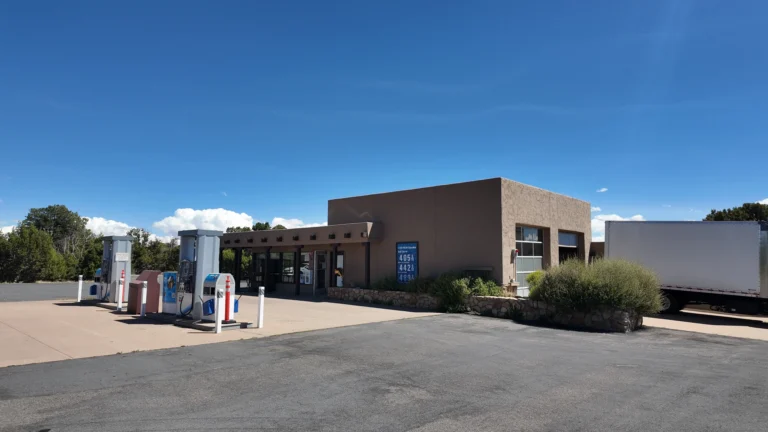 Store1.6 mi
Operated by Delaware North, the Desert View Camp Store is the only grocery outlet at Grand Canyon’s East Entrance. Inside you’ll find…
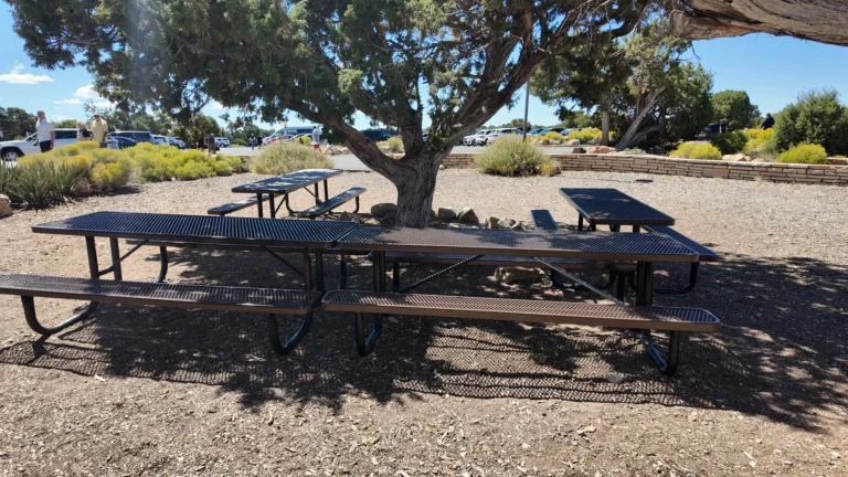 Establishment1.6 mi
Located 25 mi/40 km east of Grand Canyon Village, Desert View Picnic Area sits at 7,400 ft (2,255 m) on the South…
 Visitor Help1.6 mi
The National Park Service notes the facility is “Restrooms: located between the main parking lot and the canyon.” Built to support the…
 Store1.7 mi
Built in 1932 beside Mary Colter’s Desert View Watchtower, the Desert View Trading Post continues the Fred Harvey Company tradition of showcasing…
 Viewpoint1.7 mi
Desert View Watchtower was conceived as a “re‑creation” of ancestral Puebloan towers, blending seamlessly with the canyon’s rim. Architect Mary Colter collaborated…
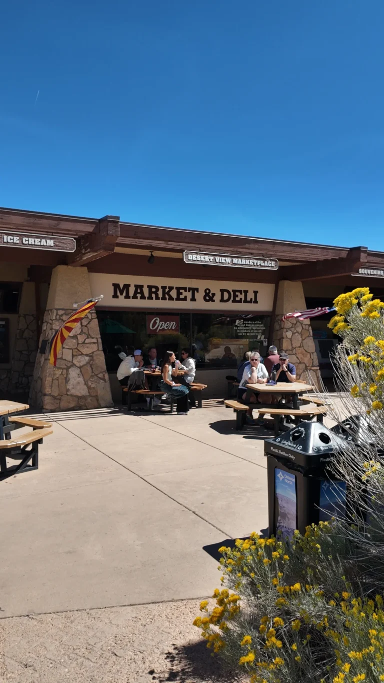 Store1.7 mi
Located 26 miles east of Grand Canyon Village, the market serves day‑trippers, campers, and through‑hikers entering via Desert View Drive. Shelves carry basic…
 Campground1.7 mi
Set among pinyon pines and junipers 23 mi (37 km) east of Grand Canyon Village, Desert View Campground sits at the highest elevation on…
No places match this filter.


This Grand Canyon helicopter tour over the North Canyon sets off from the South Rim. Soar over the Grand Canyon National Park’s most astonishing rock formations and…
Tour Duration:
Departure:
Destination:

Go Buck Wild over a Grand Canyon Sunset with our evening tour. This experience builds upon the 2 hour Signature Tour by adding more exposure to the Grand…
Tour Duration:
Departure:
Destination:

The Grand Discovery Air Tour is one of the best ways to see the natural wonders Grand Canyon has to offer with a scenic flight starting from…
Tour Duration:
Departure:
Destination: