
Scenic Location Places
scenic location
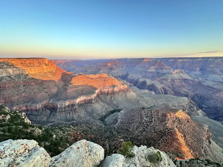
Hermit Road
Hermit Road is a scenic drive that provides access to some of the most breathtaking views of the Grand Canyon. It is closed to…

scenic location
Cape Royal Road
Beginning 3 mi/4.8 km south of the North Rim Visitor Center, Cape Royal Road winds 23 mi/37 km across the 8,000‑ft‑high Walhalla Plateau. The…
natural_feature
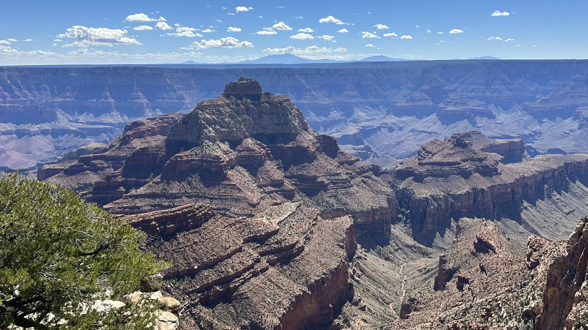
Vishnu Temple
Named in 1880 by geologist Clarence Dutton, Vishnu Temple resembles an oriental pagoda, inspiring its link to the Hindu preserver deity. The peak is…
natural_feature
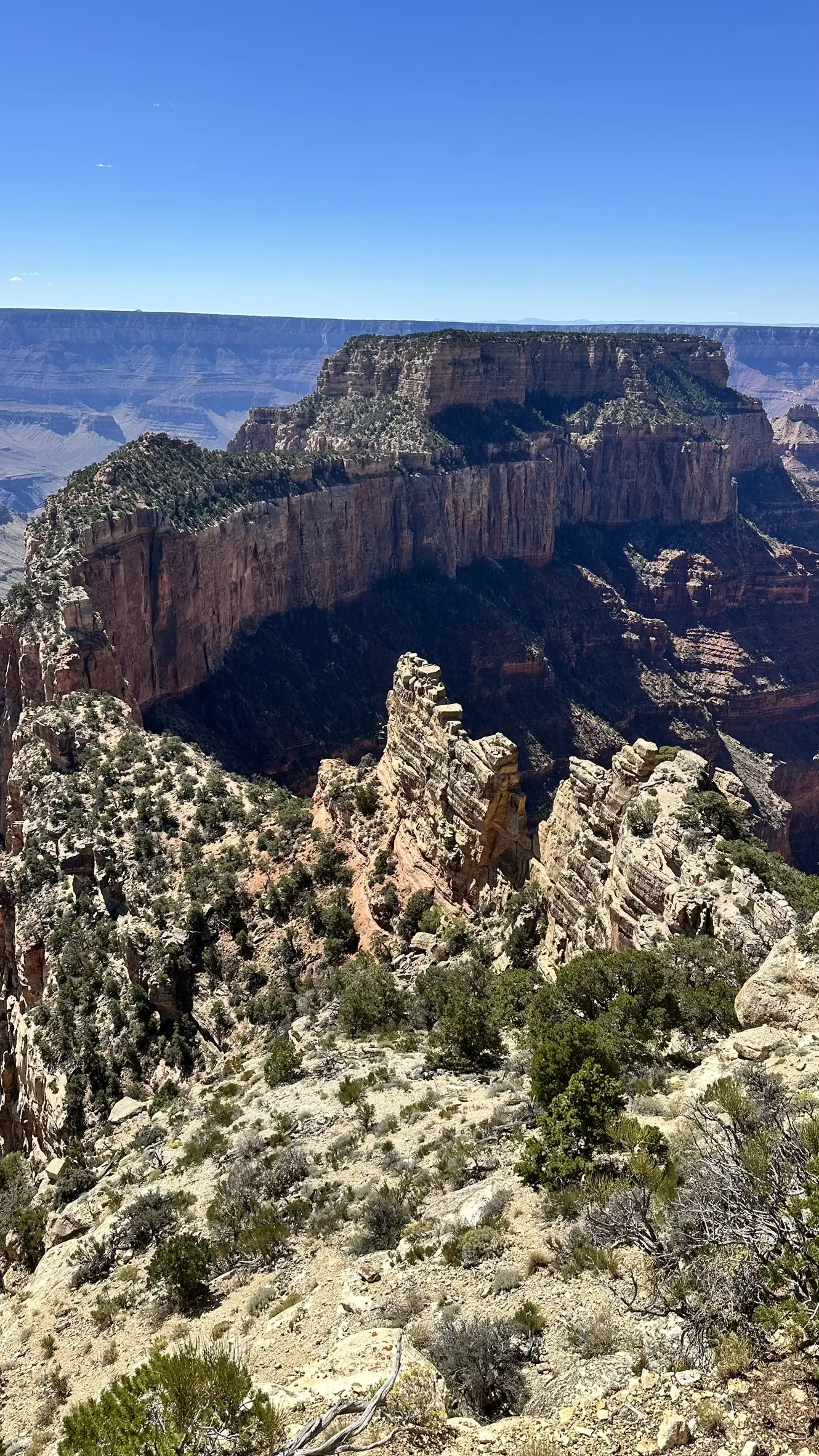
Wotans Throne
Wotans Throne stands 7,721 ft / 2,353 m above sea level on the edge of the Walhalla Plateau, just south of Cape Royal. Clarence Dutton bestowed the mythological name…
natural_feature
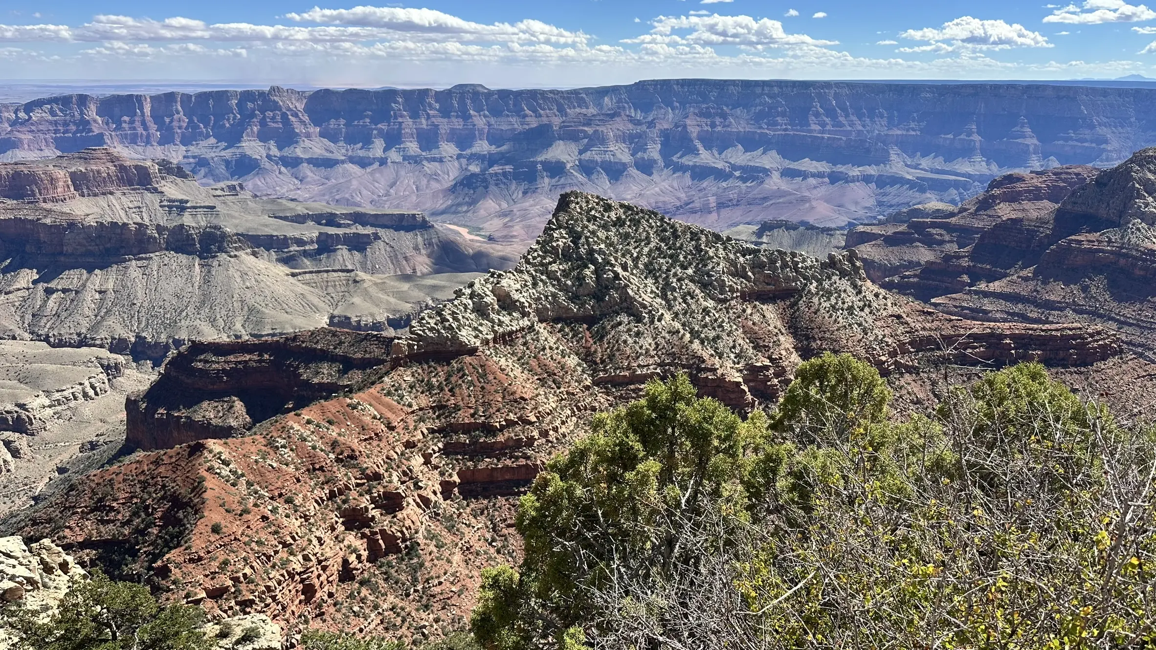
Freya Castle
Rising nearly 4,000 ft/1,220 m above the Colorado River, Freya Castle showcases the Grand Canyon’s classic “layer‑cake” geology. Its summit is composed of Permian…
park
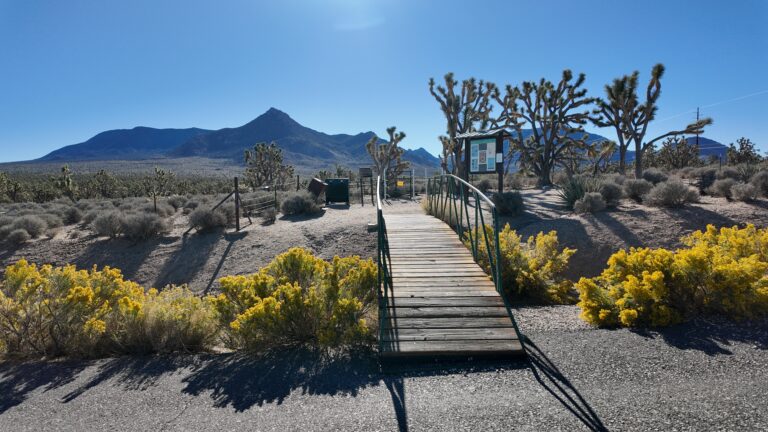
Arizona’s Joshua Tree Forest
Covering roughly 45,000 acres on Grapevine Mesa, Arizona’s Joshua Tree Forest protects thousands of Yucca brevifolia that thrive at 3,000–5,000 ft in the northwest…

scenic location
Indian Rd 18 – Highway to Hualapai Hilltop
Indian Road 18 (sometimes signed Indian Route 18) crosses the Hualapai Indian Reservation for roughly 60 miles/97 km. Paved and generally well-maintained, the two-lane…
route
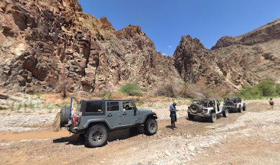
Diamond Creek
Cutting a 20‑mile canyon through the Hualapai Plateau, Diamond Creek descends 3,500 ft before meeting the Colorado River at River Mile 225. The unpaved Diamond Creek…
tourist_attraction
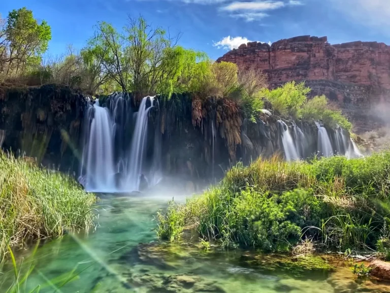
Fifty Foot Falls
Named for its approximate height, Fifty Foot Falls forms where Havasu Creek tumbles over a travertine lip into a broad, blue‑green pool. A 0.25‑mile…
park
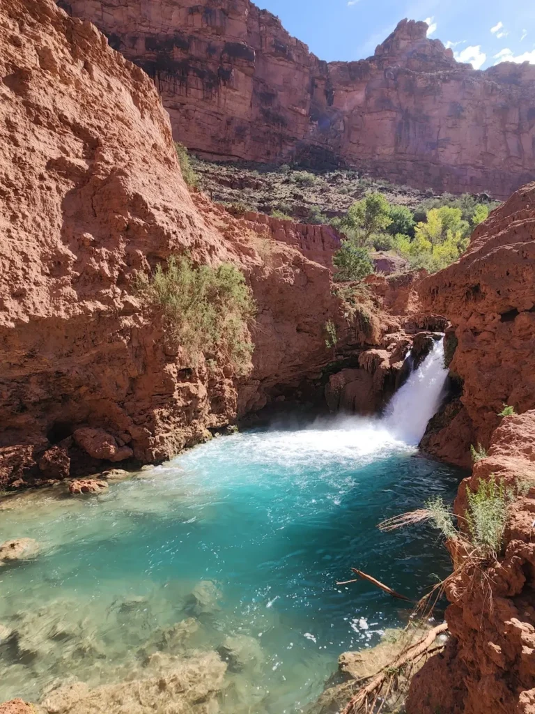
Hidden Falls
Hidden Falls sits along Havasu Creek between Fifty Foot Falls and Havasu Falls on the Havasupai Reservation. Fed by mineral‑rich spring water, the cascade…
scenic location
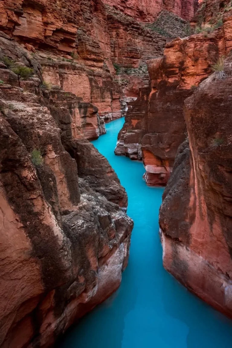
Havasu Creek & Colorado River Confluence
Havasu Creek rises from limestone springs on the Havasupai Reservation and travels nearly 50 miles before spilling into the Colorado River at River Mile…
establishment
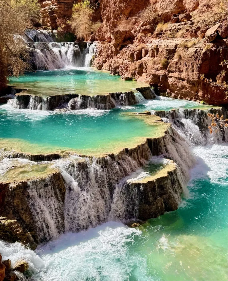
Beaver Falls
Located 3 mi (4.8 km) downstream of the Havasu Campground, Beaver Falls marks the last major waterfall before Havasu Creek meets the Colorado River….
scenic location
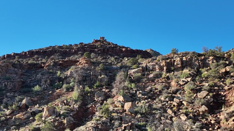
Saddle Horn Rock
Carved from Permian‑age Kaibab Limestone and younger Moenkopi beds, Saddle Horn Rock stands like a natural monument on a bench above the Little Colorado…
route
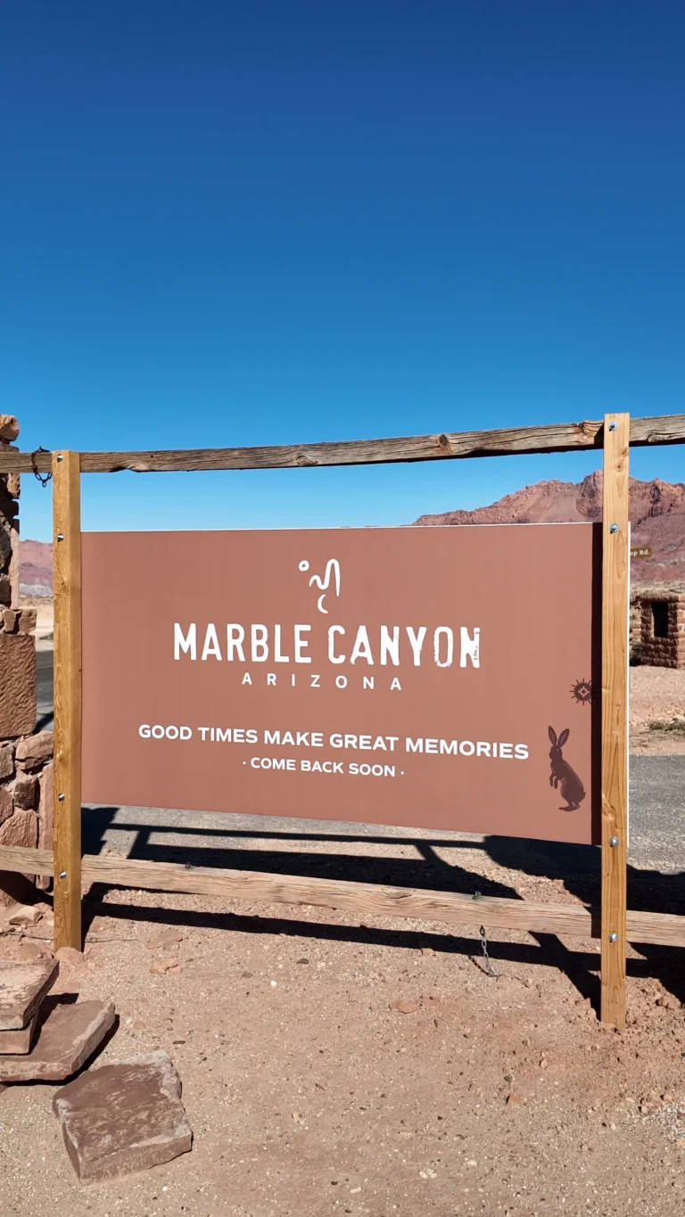
Marble Canyon
Despite its name, Marble Canyon’s walls contain no marble; John Wesley Powell coined the term in 1869 for the polished limestone that “resembles marble.”…
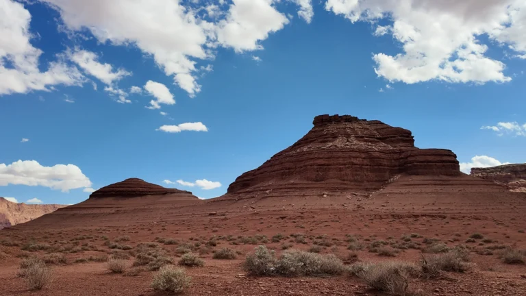
scenic location
Cathedral Rock
Cathedral Rock is a 3,942‑foot (1,202 m) erosional remnant of the Moenkopi Formation that towers above Lees Ferry, the historic river crossing at the head of the…
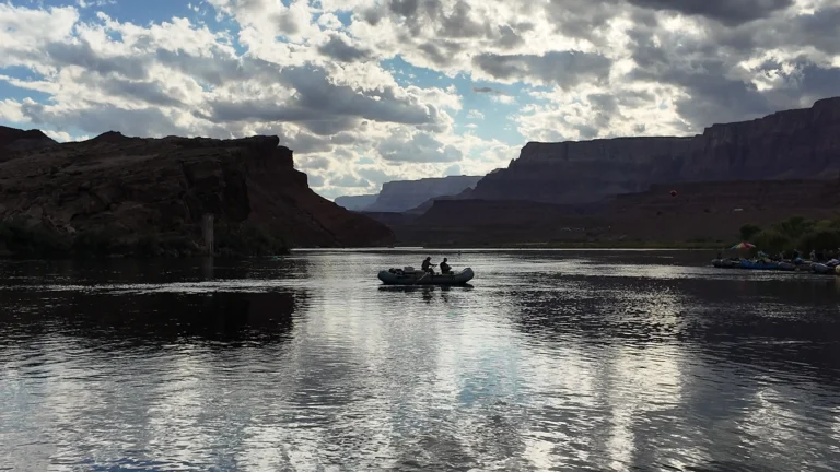
route
Colorado River
Flowing 1,450 mi (2,330 km) from the Rocky Mountains to the Gulf of California, the Colorado River slices a 277‑mile chasm up to 18 mi wide and…
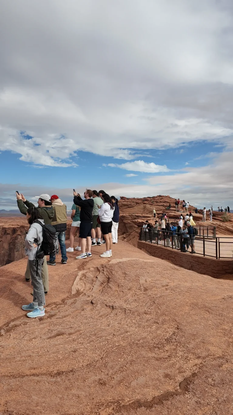
scenic location
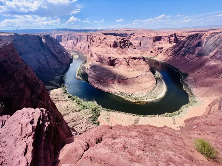
Horseshoe Bend
Horseshoe Bend sits within Glen Canyon National Recreation Area, where the Colorado River has entrenched itself 1,000 ft (305 m) below the surrounding sandstone plateau. The…
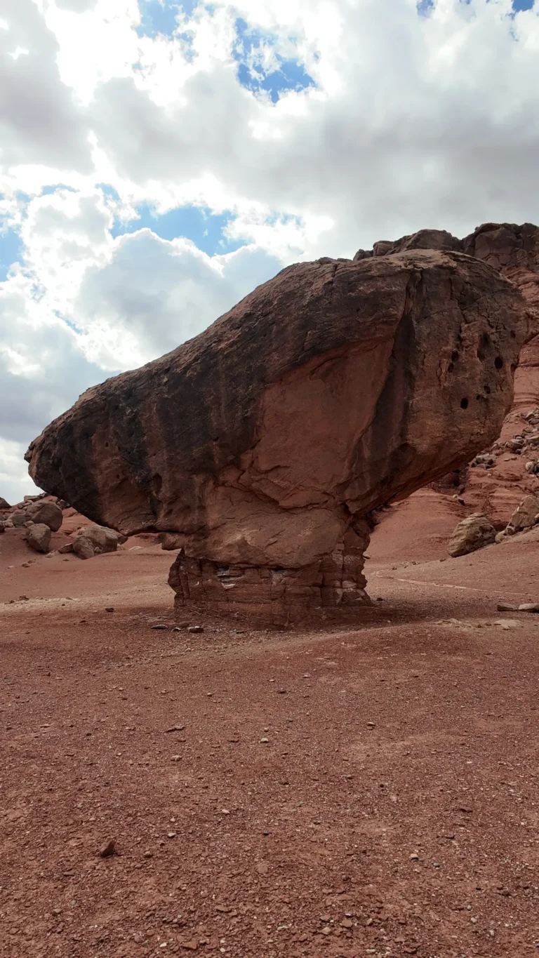
scenic location
Balanced Rock
Balanced Rock formed when a conglomerate boulder broke from the rim and landed on softer Moenkopi sandstone. Erosion removed surrounding material, leaving today’s narrow…
establishment
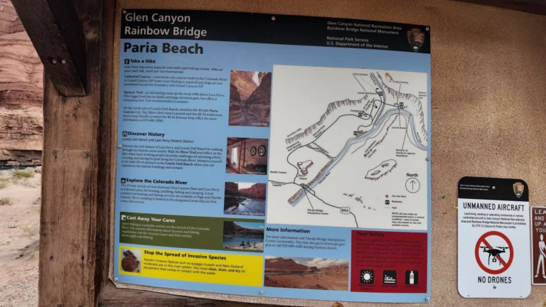
Paria Beach
Paria Beach sits just downstream of the historic Lees Ferry boat ramp where the cold, emerald‑green Colorado River meets the muddy Paria River. At…
travel_agency
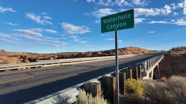
Waterholes Canyon
Carved by flash floods in Navajo Sandstone, Waterholes Canyon stretches roughly three miles from U.S. 89 to the Colorado River. Once open for self‑guided exploration,…
tourist_attraction
Secret Canyon
Hidden within the Navajo sandstone south of Page, Secret Canyon—also called Horseshoe Bend Slot Canyon—runs roughly 400 ft (122 m) in length, with walls…
scenic location
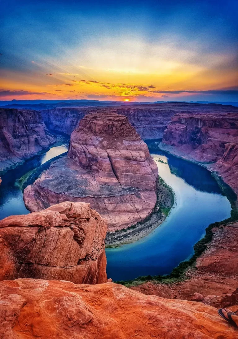
Horseshoe Bend
Horseshoe Bend sits within Glen Canyon National Recreation Area, where the Colorado River has entrenched itself 1,000 ft (305 m) below the surrounding sandstone plateau. The…
scenic location
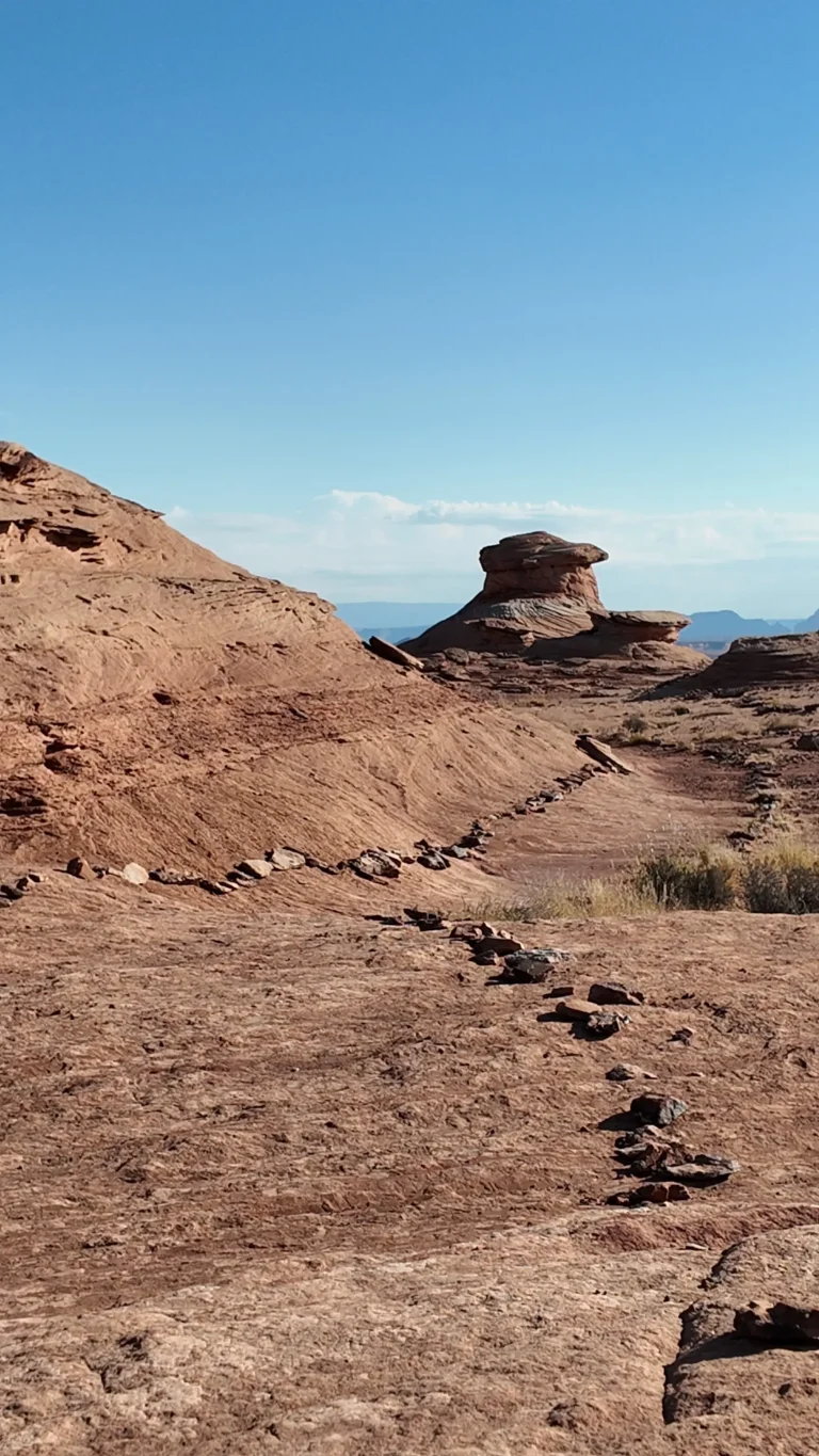
The New Wave
Carved by wind and water in the Navajo Sandstone layer, The New Wave showcases undulating ridges, cross‑bedding and honey‑comb tafoni reminiscent of Coyote Buttes’…
park
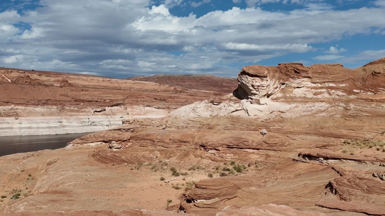
The Chains
The Chains is a beloved local day‑use spot on the south shore of Lake Powell, inside Glen Canyon National Recreation Area. A short drive down…
scenic location
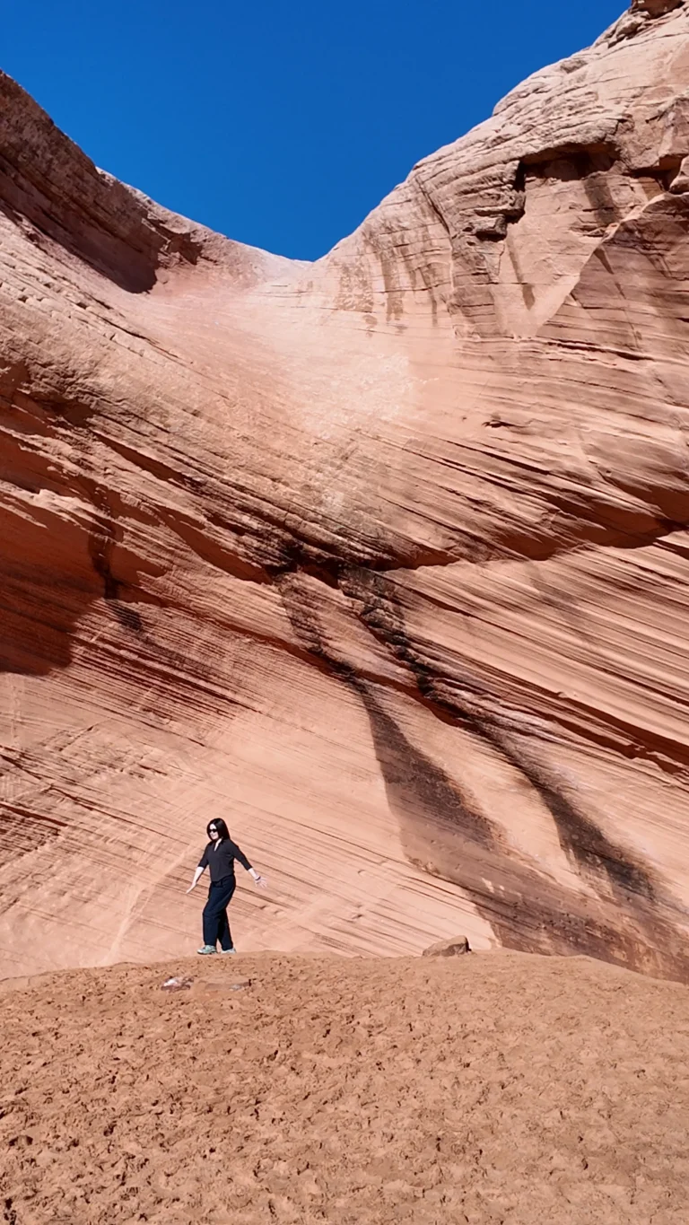
Sand Cave
Sand Cave, also known as the Secret Alcove or Big Lake Sand Cave, represents one of Page's most accessible hidden gems. This shallow but…
scenic location
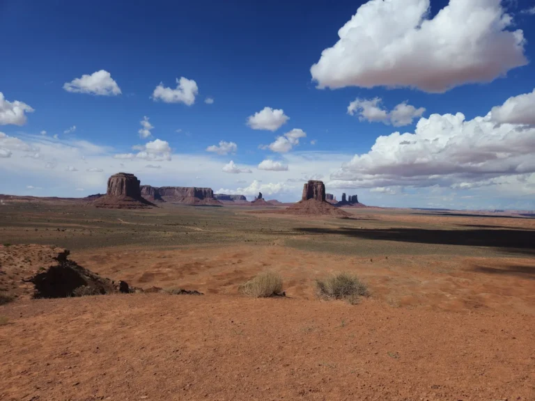
Antelope Canyon (Upper)
Upper Antelope Canyon stands as one of nature's most extraordinary masterpieces, carved from Navajo sandstone through millions of years of flash flooding and wind…
scenic location
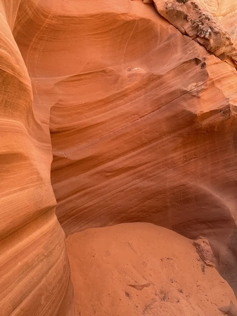
Rattlesnake Canyon
Rattlesnake Canyon represents one of northern Arizona's best-kept secrets, offering visitors the extraordinary beauty of a world-class slot canyon without the overwhelming crowds that…
scenic location
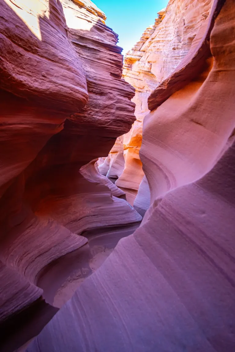
Owl Canyon (Navajo)
Owl Canyon stands as one of the most culturally significant and wildlife-rich slot canyons in the Navajo Nation, offering visitors a rare opportunity to…
scenic location
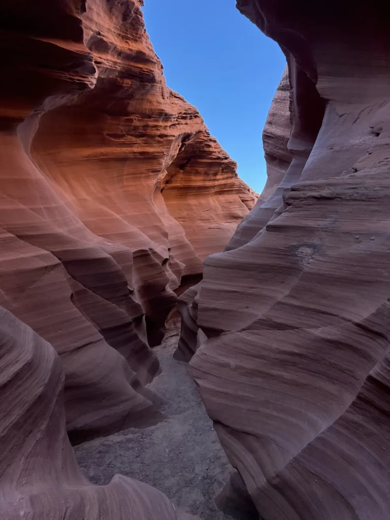
Mountain Sheep Canyon
Mountain Sheep Canyon represents the pinnacle of adventurous slot canyon exploration in northern Arizona, offering visitors the most challenging and rewarding experience among the…
scenic location
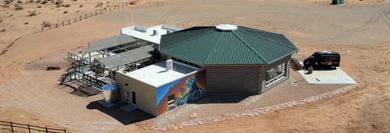
Lower Antelope Canyon
Lower Antelope Canyon stands as one of nature's most magnificent slot canyon creations, carved through 190-million-year-old Navajo sandstone by the relentless forces of flash…